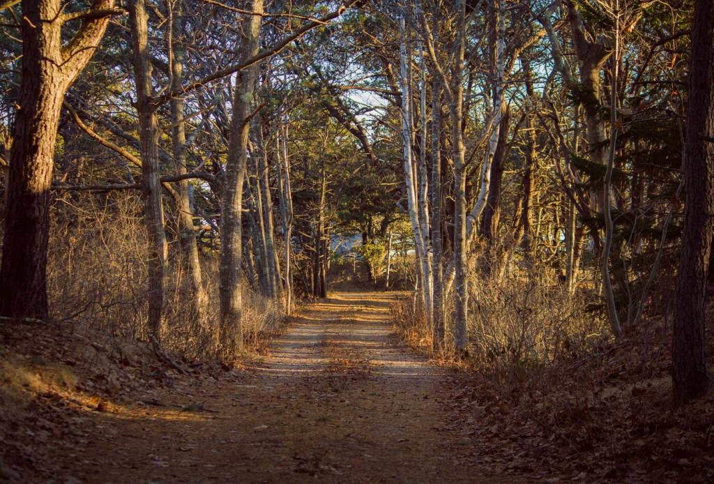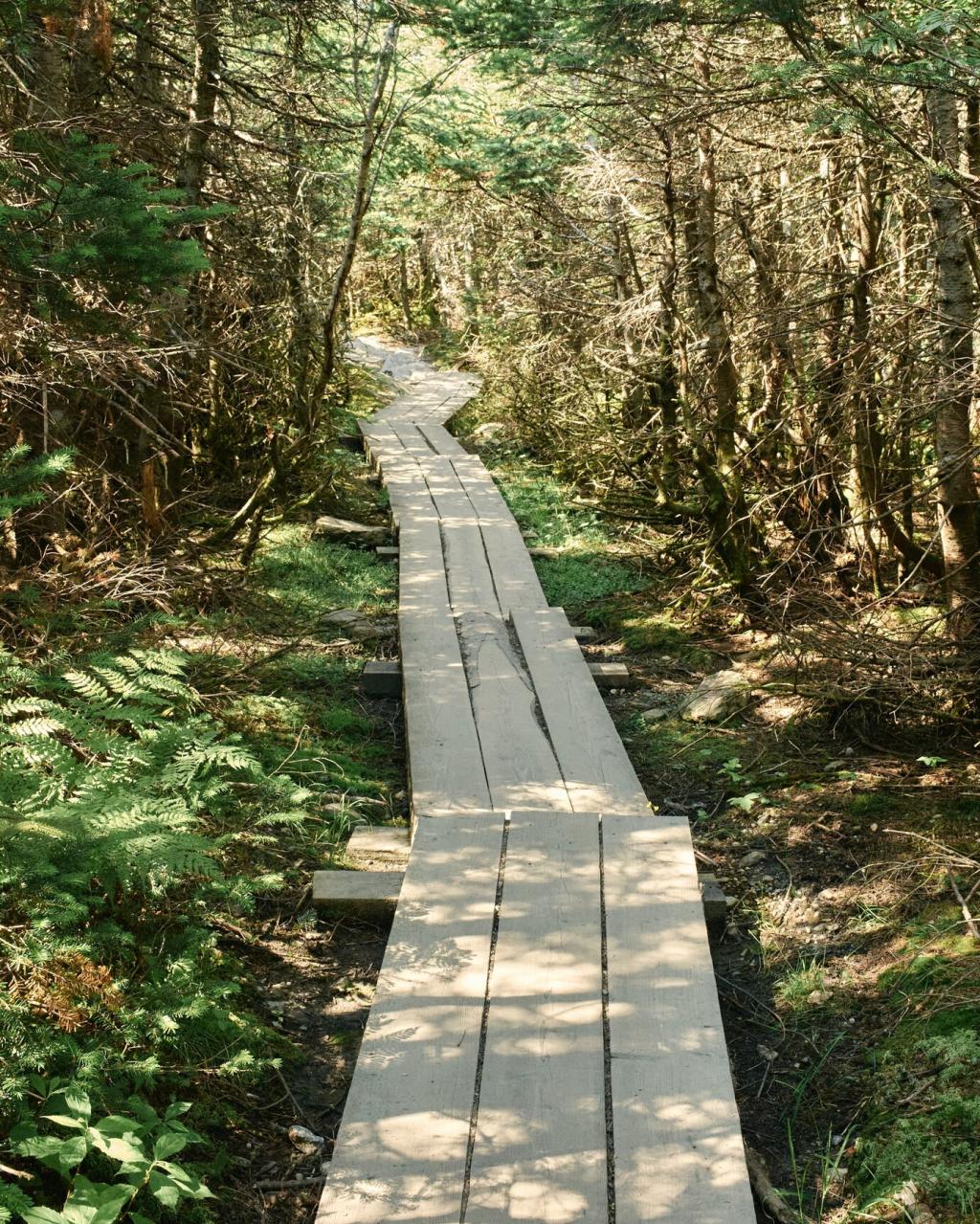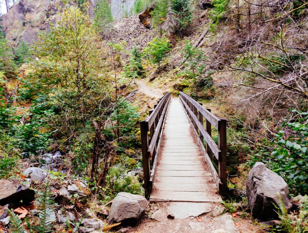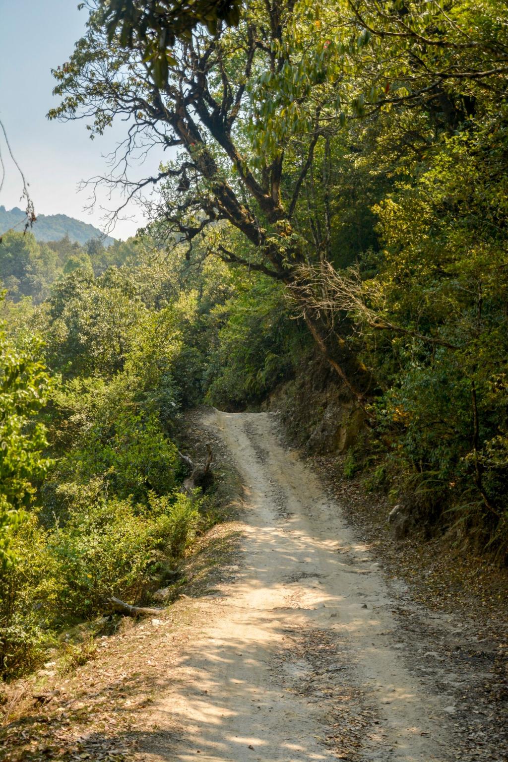
Mapping the Perfect Autumn Riverbank Route
Study trail maps and flow gauges to understand bends, bridges, and floodplains. Autumn levels can shift after rain, so note access points, detours, and daylight windows. Share your favorite map app or paper atlas in the comments below.
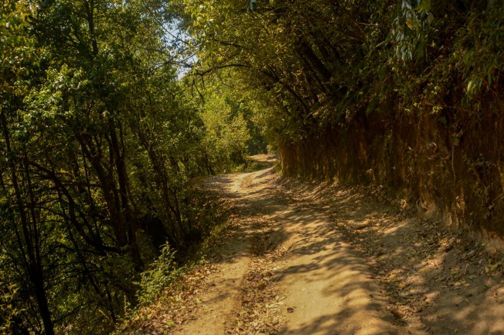
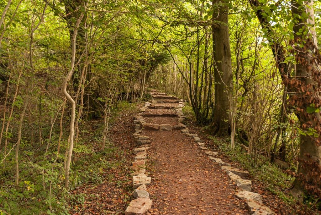
Mapping the Perfect Autumn Riverbank Route
Track local leaf forecasts and historical color peaks for your river valley. Cooler nights brighten maples earlier near upland tributaries, while lowland cottonwoods glow later. Subscribe for weekly foliage updates and curated route ideas tailored to your region.